Mapinger
Interactive Wayfinding System
Turning complex indoor spaces into seamlessly navigable digital experiences with SVG-based wayfinding
Understanding
the Problem
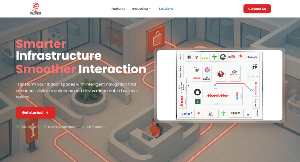
Large facilities like malls, hospitals, and university campuses are notoriously difficult to navigate. Visitors get lost, miss appointments, and waste time. Mapinger needed a web-based wayfinding system that could render interactive SVG floor plans, calculate routes across multiple floors and building blocks, and handle accessibility requirements like elevator routing — all without native app installation.
How We Built It
Designed a hierarchical data model for buildings, floors, and blocks with full CRUD operations, allowing facility managers to map their spaces through an intuitive admin panel
Built a custom SVG-based routing engine that calculates optimal paths across multiple floors, with intelligent elevator and staircase detection for accessibility
Implemented advanced door/exit detection algorithms to prevent overlapping paths across complex architectural shapes and concave floor plans
Developed turn-by-turn navigation guidance with responsive SVG map alignment that adapts from mobile to large-screen kiosk displays
Created an analytics dashboard with charts showing popular routes, peak usage times, and visitor flow patterns to help facility managers optimize signage
Built event campaign modules that allow admins to overlay promotional content and wayfinding for special events, conferences, and seasonal campaigns
Impact Delivered
“Mapinger completely changed how visitors experience our facility. The wayfinding system reduced 'where is this?' calls to our help desk by over 60%.”
NOON
Media Streaming Platform
Read Case Study